A cold and snowy start to the winter is expected, but it could turn milder and wetter come January in Southern Ontario, according to CityNews’ winter weather forecast.
Meteorologist Natasha Ramsahai says the first half of the winter is going to look very different than the second half of the winter, mostly due to La Nina, the cooling of Pacific Ocean’s surface temperatures, which is one of the biggest drivers of North American winter.
“The La Nina advisory that’s in place now is going to impact the jet stream and our winter, but things are likely going to change,” said Ramsahai.
The amount of snow in Siberia also plays a role in determining how the winter pans out, including impacting the polar vortex.
“The polar vortex is this large area of cold air aloft that sits at the poles. A strong jet stream will keep it in the poles, but what is going to happen when the polar vortex drops the cold across southern Canada is you get a weaker jet stream,” Ramsahai explained.
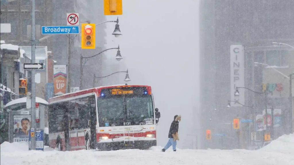
Since all five Great Lakes are currently warmer than average, if the polar vortex kicks into action, the cold air moving over the warm water will create snow squalls.
“I think that is going to be a big factor for Southern Ontario. A lot of snow at times and a lot of snow squall action is expected this winter across the Great Lakes,” explained Ramsahai.
The official forecast: lots of cold, lots of snow from November to January. However after that, things could change.
“As we go from January to March, a lot of that cold is going to be pulled back up north and further west, so Alberta, Saskatchewan, Manitoba, the prairies getting into the bulk of that cold along with Northern Ontario,” said Ramsahai. “[For] Southern Ontario, including Toronto, we could be looking at milder, rainier conditions … I think that mixed precipitation is going to be a problem for the first few months of 2026.”
The winter outlook forecast is subject to change, especially in Canada, where there are so many different factors to take into account.
“There’s a number of signals and teleconnections between the atmosphere and the ocean that go on. Some of them are big influences on North America, and some of them are just really hard to predict here as we go over the next few weeks and months. Some of them change day to day, so that’s what makes it really difficult,” Ramsahai explained.
“The other thing is, because Canada is so big, the east is going to be very different than the west, and very different than central Canada.”
And on whether we could see a white Christmas, Ramsahai said it’s still too early to make that call.
“I think what is concerning is the trend that we have seen over the last few decades … the chance of a white Christmas is decreasing simply because of climate change and the warming patterns that we have been seeing,” she said.
“Toronto now, over the last few years here, compared to like the 60s, 70s, and 80s, we have a 30 per cent less chance now of seeing that white Christmas. So the chance, unfortunately, is going down, but we’ll wait ’til closer to the day to give you the official white Christmas forecast.”