
Toronto is heading into one of its warmest stretches of the year so far, with temperatures soaring into the double digits Saturday, Sunday and Monday as a surge of mild air settles over southern Ontario.
The warmup follows a cloudy, damp Friday and marks the start of a brief but notable spring preview before colder air returns mid‑next week.
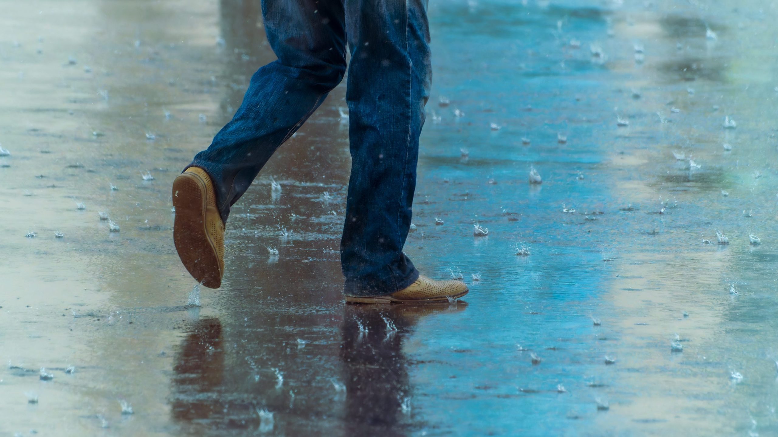
Friday stays mostly cloudy with a high near 2°C, but temperatures hold steady into the evening as a warm front approaches. Showers develop overnight with a risk of thunderstorms, and winds shift to the southwest, helping usher in the weekend warmup.
Saturday: Warmest day in weeks, but windy and wet; Sunday and Monday shaping up to be beautiful
680 NewsRadio weather specialist Denise Andreacchi says Saturday brings a sharp jump in temperatures, with Toronto expected to reach 13°C. Scattered showers are likely through the day, and a few rumbles of thunder can’t be ruled out.
Southwest winds of 20–40 km/h will make it feel even milder at times.
Sunday is shaping up to be the pick of the weekend. Skies clear to mainly sunny, winds ease slightly, and temperatures reach 10°C, well above seasonal norms for early March.
The warm spell peaks on Monday with a high near 14°C under a mix of sun and cloud. It will be the fourth straight day of above‑normal warmth before a more active pattern returns mid‑week.
How common is early‑March rain in Toronto?
Southern Ontario will see numerous weather systems over the next week, each bringing its own round of rain or mixed precipitation. Thursday’s showers, Saturday’s scattered rain, and next week’s mid‑week system all contribute to what is shaping up to be one of the wettest stretches of March so far.
Rain in the first week of March is not unusual, though the amount varies widely year to year. Toronto’s long‑term climate records show that March typically brings a mix of rain and snow, with total monthly precipitation averaging around 65–80 mm depending on the time period.
Environment Canada’s historical climate portal shows that March precipitation includes both rain and snow, with daily and monthly records available dating back decades. According to this Toronto weather dashboard, 65.6 mm of total precipitation was recorded in March 2025, indicating that 10–15 mm in a single event — like what’s forecast for Thursday — fits comfortably within historical norms.
Toronto’s March temperature tables, from 2010–2024, confirm that double‑digit highs occur in most years, sometimes repeatedly, and occasionally spike into the mid‑teens. Andreacchi says this weekend’s forecasted highs in the 10–14°C range are well within the historical pattern — warm, but not unprecedented.
Click here to sign up for the CityNews Weather Guarantee and to check out Toronto’s extended forecast.