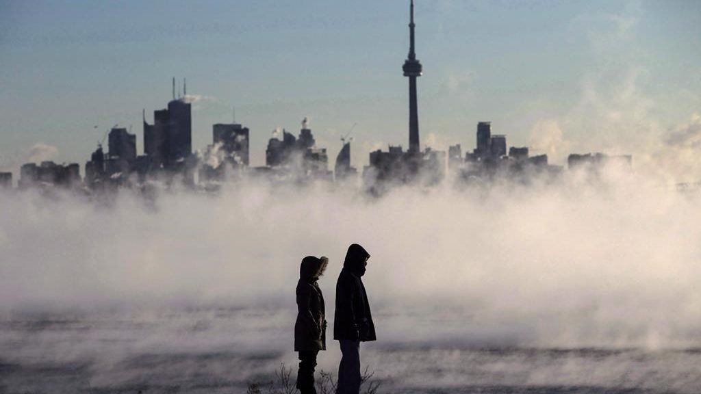
It’s a cold start to the week in Toronto and the GTA, with the daytime temperature on Monday expected to reach only near 3-4 C — well below the seasonal highs of 12-14 C for this time of year.
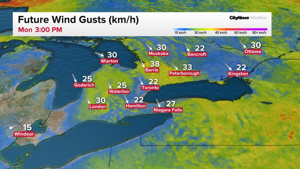
The weather is so cold that drivers north of the city reported icy roads in Bradford and on Hwy. 400 between Innisfil Beach Road and Hwy. 89. Lake-effect flurries have also been reported across southwestern Ontario, which will ease by this evening as gusty northwest winds die down.
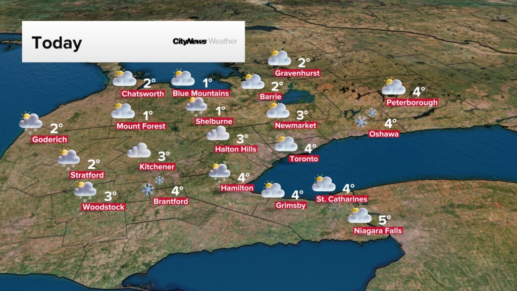
The cooler weather kicked off on Sunday, with a high of only 7 C, while the overnight low felt closer to -8 due to the wind chill. Some areas saw intermittent rain-snow mix during the day, while other parts of the GTA had brief bursts of showers.
Temperatures will gradually rise through Tuesday and return to seasonal, or slightly above seasonal, by Wednesday with plenty of sunshine on tap.
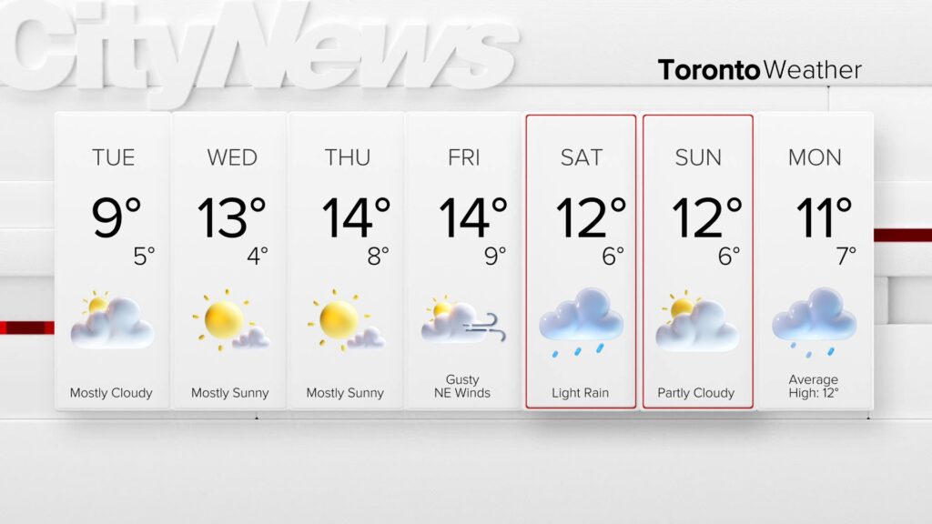
Overall, it looks to be a seasonal end to April and start of May in southern Ontario, with not nearly as warm as the temperatures last week.
A low pressure system looks to move into southern Ontario Saturday bringing light rain to start the weekend.
Click here to sign up for the CityNews Weather Guarantee and to check out Toronto’s extended forecast
With files from 680 NewsRadio weather specialists Denise Andreacchi and Michelle Mackey